2021-2022 USAP Field Season
Project Detail Project TitleThwaites-Amundsen Regional Survey and Network (TARSAN): integrating atmosphere-ice-ocean processes affecting the sub-ice-shelf environment Summary
Event Number:
Program Director:
ASC POC/Implementer: Principal Investigator(s)
Dr. Erin Pettit
Dr. Karen Heywood Location
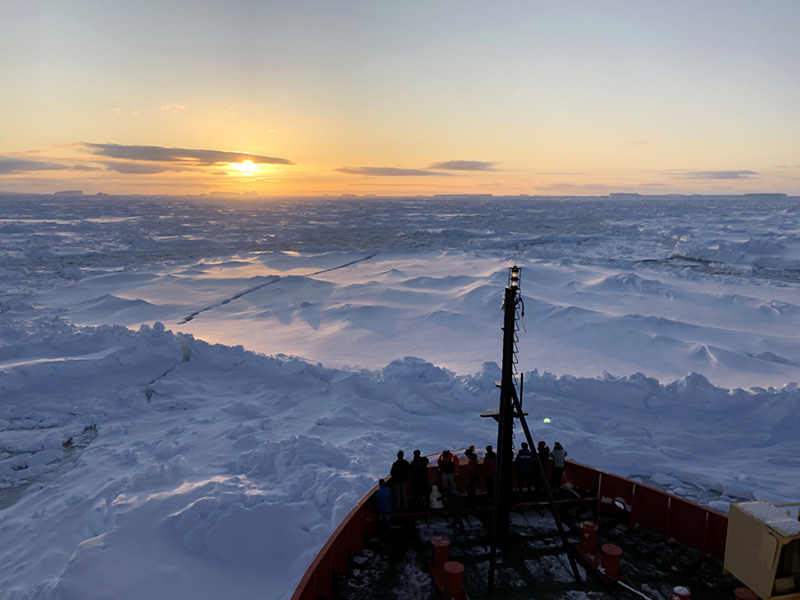
Supporting Stations: McMurdo Station, RV/IB Nathaniel B. Palmer DescriptionTARSAN (Thwaites-Amundsen Regional Survey and Network) is a part of ITGC (International Thwaites Glacier Collaboration), a multi-disciplinary effort led by the U.S. and U.K. Antarctic programs. TARSAN research has ocean- and land-based components, with the goal to assess regional climate, ice, and ocean conditions and processes that are governing the retreat and acceleration of Thwaites Glacier. The project combines extensive vessel-based data from casts, moorings, and instrumented seals with land-based observations from AMIGOS (Automated Meteorology-Ice-Ocean Geophysics Systems) instruments that measure ocean, ice, and weather conditions. A set of geophysical surveys of two of the major ice shelves in the Amundsen Sea embayment -- Thwaites Eastern Ice Shelf (TEIS) and Dotson Ice Shelf, are characterizing the ice shelf stability and sub-ice-shelf structure. The geophysical surveys include radar profiles, phase-sensitive radar vertical profiles (ApRES), seismic profiles, and detailed GPS measurements. Field Season OverviewAs part of the ITGC, the TARSAN land-ice team will consist of four researchers and a field safety mountaineer deploying for at least two weeks. They will revisit, resurvey, and recover instruments at the Cavity Camp and Channel Camp AMIGOS sites, as well as on the Dotson Ice Shelf. They will also drill a 10m firn core for density profiling and melt-layer determination. The field deployment expects ten workable science days on TEIS and one workable day during take-out at Dotson, minimum. The 20-person TARSAN vessel team will participate in the 2021-2022 Thwaites expedition aboard the RV/IB Nathaniel B. Palmer to measure ocean properties on the continental shelf adjacent to ice-shelf fronts using seal tagging, glider-based and ship-based surveys, and existing moored and CTD-cast data. They will also investigate sub-ice-shelf cavities via autonomous underwater vehicles to provide details on ocean transports and heat fluxes. Deploying Team Members
|
2021-2022 Science Planning Summaries

For USAP Participants |
For The Public |
For Researchers and EducatorsContact UsNational Science FoundationOffice of Polar Programs Geosciences Directorate 2415 Eisenhower Avenue, Suite W7100 Alexandria, VA 22314 Sign up for the NSF Office of Polar Programs newsletter and events. Feedback Form |

