2026-2027 USAP Field Season
Project Detail Project TitleEarthScope GAGE High-precision GPS and Ground-based Lidar Support Summary
Event Number:
Program Director:
ASC POC/Implementer: Principal Investigator(s)
Dr. Rebecca Bendick
Project Web Site: Location
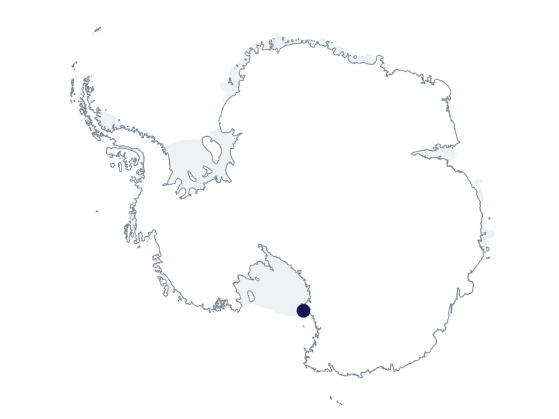
Supporting Stations: McMurdo Station DescriptionThe EarthScope Consortium is a geophysical science support organization formed on 1 January 2023, through the merger of two long-standing institutions: the Incorporated Research Institutions for Seismology (IRIS) and University NAVSTAR Consortium (UNAVCO). Both organizations, founded in 1984, had been central pillars of the US geoscience community (IRIS in seismology and UNAVCO in geodesy), providing researchers with access to high-quality instrumentation, data, and educational resources. Until 2025, the EarthScope Consortium operated two National Science Foundation (NSF) facilities: the Geodetic Facility for the Advancement of Geoscience (GAGE) and the Seismological Facility for the Advancement of Geoscience (SAGE). These facilities supported global research by maintaining extensive networks of geophysical sensors. In 2025, NSF made an award to the EarthScope Consortium to operate the National Geophysical Facility (NGF), a unified national resource that will support US geoscience research for the coming years. Through the NGF, EarthScope will provide essential infrastructure to the US geophysical community, including global and regional seismic networks, global positioning system (GPS) / global navigation satellite system (GNSS) geodetic arrays, portable instrumentation pools, and real-time data services. In 2026, NSF’s Office of Polar Programs awarded the EarthScope Consortium a new 5-year cooperative support agreement to support seismic and geodetic research in the polar regions. Field Season OverviewIn 2026-27, the EarthScope support team will deploy a team of four core geodetic and seismic field engineers, who will work out of McMurdo Station for much of the field season. Up to four additional engineers will deploy to support peak activity and efforts further afield. T-295 project staff will continue to support the I-169-M Banwell project in the "rumple zone" near the Scott Base Transition. Work will peak in late October 2026 and late January 2027. Staff will service existing instruments and augment the previous year's instrument suite with additional sensors. Antarctic Support Contract field safety coordinators will assist with work in this area. Decommission of the G-079 project’s Polar Earth Observing Network (POLENET) will continue under the R-795-M (POST) project. An EarthScope engineer will accompany the decommissioning team in West Antarctica in late November 2026. Two EarthScope staff will service the X-498-M project’s NASA-ISRO Synthetic Aperture Radar (NISAR) sites across the Ross Ice Shelf and along the Transantarctic Mountains. EarthScope staff will also use helicopter support from mid-November to mid-December 2026 to service Erebus Backbone Network and Erebus Perimeter Experiment sites via day trips. Additionally, the team will endeavor to service some of their network of continuously operating GPS and seismic stations located in the vicinity of McMurdo, including at the airfields, Ross Ice Shelf, McMurdo Dry Valleys, Mount Erebus, and Alexander Tall Tower. Finally, the team will continue to conduct equipment preparation and testing of instrumentation at their test site near Castle Rock and on Observation Hill and will maintain their seismic equipment (nodes) at Albert P. Crary Science and Engineering Center. Deploying Team Members
|
2026-2027 Science Planning Summary


For USAP Participants |
For The Public |
For Researchers and EducatorsContact UsU.S. National Science FoundationOffice of Polar Programs Geosciences Directorate Randolph Building 401 Dulany Street Alexandria, VA 22314 Sign up for the NSF Office of Polar Programs newsletter and events. Feedback Form |