2026-2027 USAP Field Season
Project Detail Project TitleCollaborative Research: Ice Shelf Rumpling and Its Influence on Ice Shelf Buttressing Processes Summary
Event Number:
Program Director:
ASC POC/Implementer: Principal Investigator(s)
Dr. Alison Banwell
Location
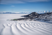
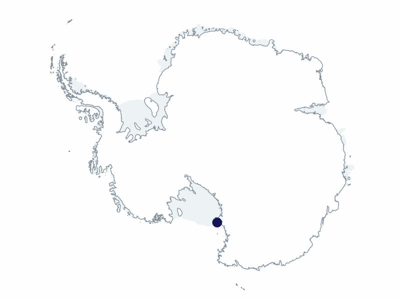
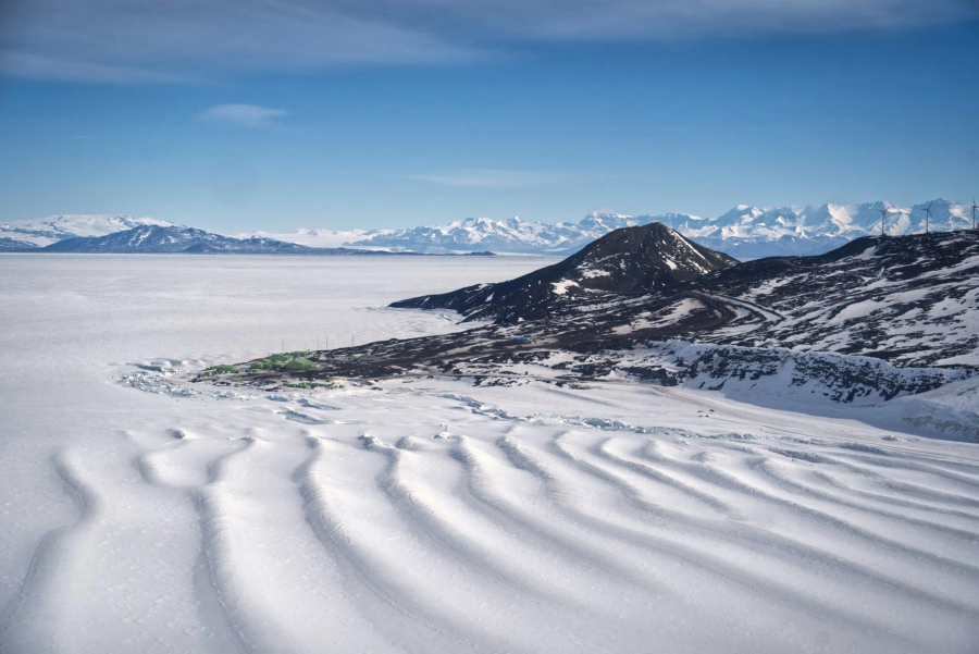
Supporting Stations: McMurdo Station DescriptionThis project will investigate the complex interplay between factors that promote and factors that inhibit ice shelf damage at compressive margins. The overall goal is to determine how rumples affect ice shelf stability and hence ice shelf buttressing power, with a focus on the rumples at the compressive margin of the McMurdo Ice Shelf and Hut Point Peninsula, adjacent to New Zealand’s Scott Base. The science team will acquire a comprehensive set of geophysical and glaciological observations though field-based surveys, deployed surface sensor networks, and remote sensing, with reference to the large body of available historical observations. All observations will be used to develop and validate an existing process-scale numerical model, which combines ice shelf flow with flexure and fracture in a framework that embodies the thin plate approximation. One artist from the Polar STEAM (science, technology, engineering, arts, and math) program will join this project. Field Season OverviewTo allow sufficient time for rumple amplitude changes and geometry to be locally observed, two seasons of ground-based field surveying will be conducted about 12 to 14 months apart, thereby increasing the likelihood of change detection. This season, four participants will deploy from mid-January to mid-February, and field activity will consist of survey and sensor network deployment. One artist from Polar STEAM will join this project. Surveys will entail conducting measurements at positions along two transects that traverse the rumpled field area, and at locations above the field area. These measurements will utilize portable geophysical equipment towed by snowmobile and potentially roped travel on skis or foot within the study zone, including ground-penetrating radar, lidar, spot kinematic global navigation satellite system (GNSS) measurements, a terrestrial radar interferometer, and optical leveling/survey. Sensor network deployment will require setting up sensors to record data for extended periods. These sensors include up to six seismometers (one or two deployed through the austral winter), eight GNSS receivers (one set up with sufficient battery power to log through the austral winter), autonomous phase-sensitive radar, two automatic weather stations, and three time-lapse camera systems. All sensors will be collected at the end of the 2026-27 field season. Deploying Team Members
|
2026-2027 Science Planning Summary



For USAP Participants |
For The Public |
For Researchers and EducatorsContact UsU.S. National Science FoundationOffice of Polar Programs Geosciences Directorate Randolph Building 401 Dulany Street Alexandria, VA 22314 Sign up for the NSF Office of Polar Programs newsletter and events. Feedback Form |