2026-2027 USAP Field Season
Project Detail Project TitleCOLDEX Phase 2 - Airborne Geophysics Survey - Victoria Land Blue Ice Areas Summary
Event Number:
Program Director:
ASC POC/Implementer: Principal Investigator(s)
Dr. Duncan A Young
Project Web Site: Location
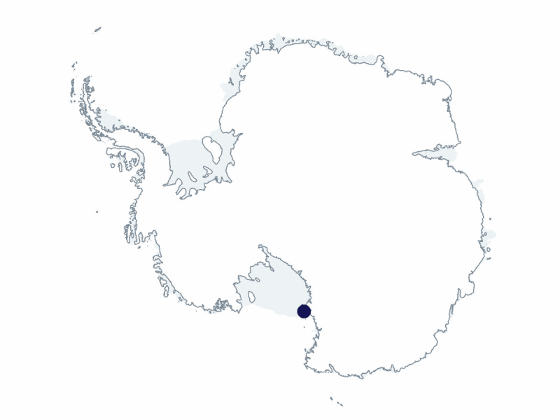
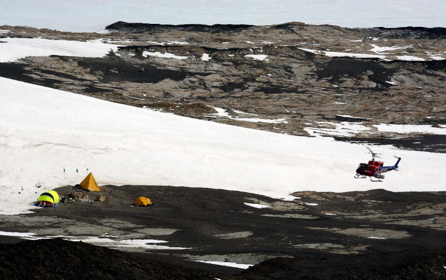
Supporting Stations: McMurdo Station DescriptionThe Center for Oldest Ice Exploration (COLDEX) explores Antarctica for the oldest possible ice core records of Earth’s environmental history. These cores will help answer scientific questions regarding long-term (Plio-Pleistocene) planetary cooling and Earth’s natural Ice Age cycles, while investigating past natural warm periods that are an analogue for warming expected this century. COLDEX has now firmly established that ice-margin blue ice areas provide the best opportunity for obtaining Earth’s oldest ice. This project aims to extensively map the ice thickness and internal layering of the Allan Hills and other Victoria Land blue ice areas, the eastern flank of Wilkes Subglacial Basin, and upstream accumulation areas. This will inform future drilling targets, enhance understanding of extremely old ice preservation and Wilkes Subglacial Basin stability, and inform interpretation of the intermediate and shallow ice cores. The team will expand the technical capabilities of the COLDEX ultra-high-frequency radar system to include polarimetric radar acquisition and use the system to map ice rheology and changes in ice flow. These data will be important for understanding the context for long-term ice sheet history in this region and may enable mapping of old ice deposits. Field Season OverviewNine participants will deploy from late November 2026 to late January 2027 this season: three from the University of Kansas and six from the University of Texas Institute for Geophysics. They will work out of a Rac-Tent at Williams Field to prepare and install instruments on a Basler aircraft. After test flights and adjustments, the Basler will complete survey flights for 3 weeks over a portion of Victoria Land and some of its blue ice areas, as well as Dome C. Following the surveys, instruments will be removed from the Basler and shipped north via resupply vessel. Deploying Team Members
|
2026-2027 Science Planning Summary



For USAP Participants |
For The Public |
For Researchers and EducatorsContact UsU.S. National Science FoundationOffice of Polar Programs Geosciences Directorate Randolph Building 401 Dulany Street Alexandria, VA 22314 Sign up for the NSF Office of Polar Programs newsletter and events. Feedback Form |