2026-2027 USAP Field Season
Project Detail Project TitleThe Polar Geospatial Information Center: Joint Support Summary
Event Number:
Program Director:
ASC POC/Implementer: Principal Investigator(s)
Dr. Jay Dickson
Project Web Site: Location
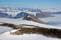
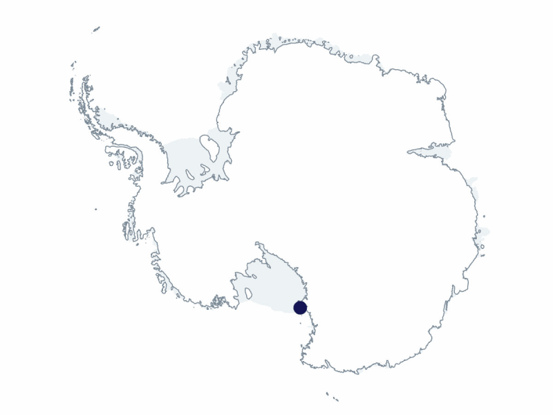
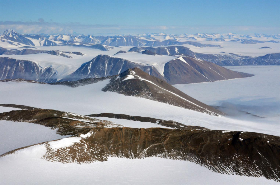
Supporting Stations: McMurdo Station DescriptionThe Polar Geospatial Center (PGC; fka Antarctic Geospatial Information Center [AGIC]) covers both polar regions. PGC provides geospatial support in the form of mapping, data delivery, and geographic information systems (GIS) analysis to science and logistics communities of the National Science Foundation’s Arctic and Antarctic research programs. PGC provides satellite imagery of aircraft landing sites, satellite radar, elevation models, real-time surface imagery, and historical time-lapse sequences of changing ice conditions. Field Season OverviewTwo PGC participants will deploy on a staggered timeline from mid-October through mid-December 2026. PGC will provide cartographic support, remote sensing products, and geospatial analysis assistance to science event grantees and other United States Antarctic Program contractor and logistics entities. These data products rely on satellite and aerial imagery from a variety of national and international sources and include both commercial and governmental satellite constellations. The scope of PGC’s work varies each season based on the requirements of science groups and Antarctic Support Contract operations. Deploying Team Members
|
2026-2027 Science Planning Summary


For USAP Participants |
For The Public |
For Researchers and EducatorsContact UsU.S. National Science FoundationOffice of Polar Programs Geosciences Directorate Randolph Building 401 Dulany Street Alexandria, VA 22314 Sign up for the NSF Office of Polar Programs newsletter and events. Feedback Form |