2022-2023 USAP Field Season
Project Detail Project TitleCollaborative Research: EAGER: A Dual-Band Radar for Measuring Internal Ice Deformation: a Multipass Ice-Penetrating Radar Experiment on Thwaites Glacier and the McMurdo Ice Shelf Summary
Event Number:
Program Director:
ASC POC/Implementer: Principal Investigator(s)
Dr. Knut A Christianson
Location
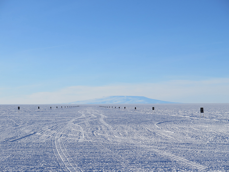
Supporting Stations: McMurdo Station DescriptionThis project will develop a new ice-penetrating radar system that can simultaneously map glacier geometry and glacier flow along repeat profiles. The new radar system will integrate two existing radars (the multi-channel coherent radio-echo depth sounder and the accumulation radar) developed by the Center for the Remote Sensing of Ice Sheets, as well as adding new capabilities. An eight-element very high frequency (VHF; 140-215 MHz) array will have sufficient cross-track aperture to swath map internal layers and the ice-sheet base in three dimensions. A single ultra-high frequency (UHF; 600-900 MHz) antenna will have the range and phase resolution to map internal layer displacement with 0.25-mm precision. The VHF array will create 3D mappings of layer geometry that enable measurements of vertical velocities by accounting for spatial offsets between repeat profiles and changing surface conditions. The vertical displacement measurement will then be made by determining the difference in radar phase response recorded by the UHF antenna for radar profiles collected at the same locations at different times.
Field Season OverviewThe radar developed by this project will be field tested on the McMurdo Ice Shelf and Thwaites Glacier, Antarctica. Field support requirements in support of the work on Thwaites Glacier are included in the International Thwaites Glacier Collaboration - Geophysical Habitat of Subglacial Thwaites (GHOST) project (C-442-M). In 2022-2023, three science personnel and one field guide will deploy to the McMurdo Ice Shelf for approximately one week in early November to collect radar data along repeat profiles, with initial collection of baseline data and then repeat measurement after a daily tidal cycle. Ground routes will be assessed by field safety personnel prior to deployment of science personnel. After this work is completed, the group may engage in additional helicopter acquisitions of ApRES/GNSS data to calibrate the profiling radar data. Deploying Team Members
|
2022-2023 Science Planning Summary

For USAP Participants |
For The Public |
For Researchers and EducatorsContact UsU.S. National Science FoundationOffice of Polar Programs Geosciences Directorate 2415 Eisenhower Avenue, Suite W7100 Alexandria, VA 22314 Sign up for the NSF Office of Polar Programs newsletter and events. Feedback Form |

: McMurdo Ice Shelf")
